Indonesia’s 2026 fire emissions rank third since 2003, Copernicus says
Fires in Indonesia generated nearly 200 million metric tonnes of carbon emissions by Nov. 15, the EU’s Copernicus monitoring service said.
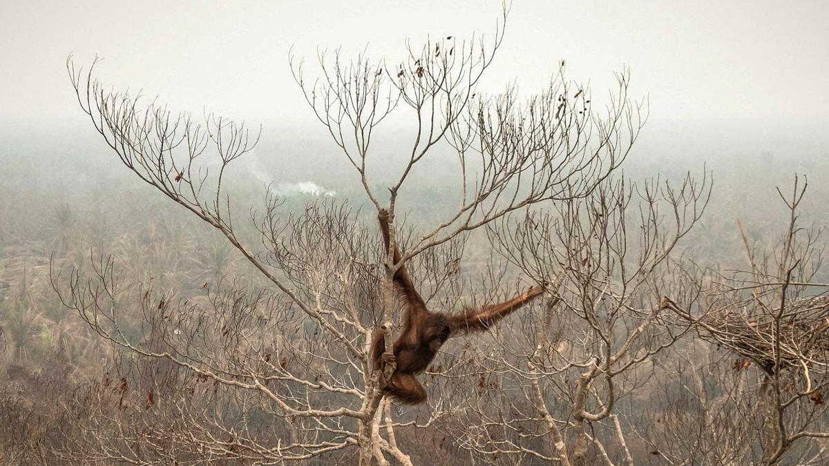
Fires in Indonesia released nearly 200 million metric tonnes of carbon emissions by Nov. 15, the European Union’s Copernicus Atmosphere Monitoring Service said on Nov. 19. The tally already ranks third among annual totals in the service’s records, which go back to 2003.
Emissions were slightly below those recorded in 2006, another strong El Niño year, and well short of the 2015 record of nearly 400 million metric tonnes. This year’s fires were fueled by severe El Niño-driven drought, higher temperatures and extensive land clearing.
Copernicus estimated that fire may have damaged nearly 8.9 million hectares, or about 22 million acres, in Indonesia this year. That amounts to 4.7% of the country’s land area, compared with an average of 1.9% from 2012 through 2025.
Experts have also pointed to climate change as a factor behind the higher temperatures. Land management has added to Indonesia’s vulnerability: peatlands have been extensively drained to make way for palm oil and pulpwood concessions, leaving them more susceptible to fire.
The extent of the damage remains uncertain. Nusantara Atlas, a geomonitoring platform that uses a more conservative method than Copernicus, estimated that 2.9 million hectares burned from January through October. Its estimate covers a shorter period than the Copernicus figures.






Comments